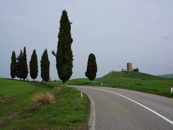
Leg B18 - Alternative path Via Cassia
Leg B18 - Alternative path Via Cassia
Gps Track
- Total Length: 4,2 km
- Cycle type: Hybrid
- Difficulty by Cycle: Easy
This alternative path avoids the unpaved slope on the road that goes from San Quirico to Vignoni Alto and Bagno Vignoni, and follows the Via Cassia, that has to be traveled paying attention to the traffic. Once you arrive at the crossroads with SP 53 in Val d’Orcia we suggest you to lightly extend your way in order to visit Bagno Vignoni, its beauty deserves the deviation.
- Leg B21 – variant – From Viterbo to Vetralla
- Leg B09 – Variant from Parma to Fornovo
- Leg B13 – Alternative path sea
- Leg B12 – Alternative path sea
- Leg B23 – From Formello to Rome
- Leg B22 – From Sutri to Formello
- Leg B21 – From Viterbo to Sutri
- Leg B20 – From Bolsena to Viterbo
- Leg B19 – From Radicofani to Bolsena
- Leg B18 – From San Quirico to Radicofani
- Leg B17 – From Siena to San Quirico
- Leg B16 – From San Gimignano to Siena
- Leg B15 – From San Miniato to San Gimignano
- Leg B14 – From Lucca to San Miniato
- Leg B13 – From Massa to Lucca
- Leg B12 – From Aulla to Massa
- Leg B11 – From Berceto to Aulla
- Leg B10 – From Fornovo to Berceto
- Leg B09 – From Fiorenzuola to Fornovo
- Leg B08 – From Orio Litta to Fiorenzuola
- Leg B07 – From Pavia to Orio Litta
- Leg B06 – From Mortara to Pavia
- Leg B05 – From Vercelli to Mortara
- Leg B04 – From Roppolo to Vercelli
- Leg B03 – From Verrès to Roppolo
- Leg B02 – From Aosta to Verrès
- Leg B01 – From Great San Bernardo to Aosta


