BS1 from Jougne to Lausanne
BS1 from Jougne to Lausanne
Gps Track
- Start: Jougne
- Arrival: Lausanne
- Total Length: 55,7 km
- Cycle type: Street
- Difficulty by Cycle: Medium
- Signals:
Follow the GPX tracks
- Suggested time:
April to October
We cross the Franco-Swiss border and the Pre-Alps to reach the Swiss plateau and finally the capital of the canton of Vaud, Lausanne, the city where the International Olympic Committee is based, charming with its sloping streets that descend towards Lake Geneva.
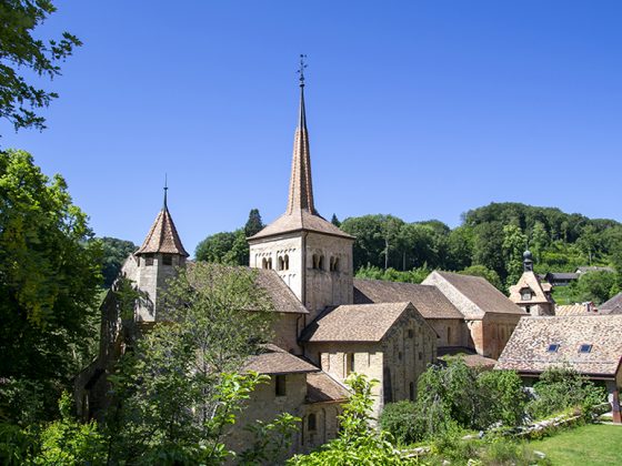
From Jougne, we reach the French-Swiss border, then the village of Ballaigues and the marked bike route n°7 for a few kilometres before turning right to descend to the village of Les Clées. Then follow the signposted bike route n°487 to Bretonnières and then the n°50 to Romainmôtier, where we stop to discover its magnificent abbey church.
Continue on the n°50 road to Cuarnens and then south-east on the n°473 road to Vullierens. Leave the signposted route to reach Aclens and towards the south Romanel sur Morges, Bremblens, and join the signposted road n°5 leading to Lausanne-Ouchy.


