VFS01v - Alternative route - Pontarlier-St-Croix
VFS01v - Alternative route - Pontarlier-St-Croix
Gps Track
- Total Length: 23,0 km
- Difficulty by Foot: Medium
The last leg of the route, ascending to pass the Jura Mountains starts at Pontarlier.
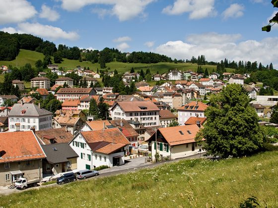
For a few kilometres the Via Francigena moves in the same direction as the itinerary of the Absinthe Trail which connects the comtoise city to the Val-de-Travers, both places with strong ties to the beverage. At the sluice of the Joux begins an obligated course for the passage to Switzerland. Facing this strategic site are the Joux castle and the Larmont fortress. Between forests and pastures, the route continues to rise in altitude, crossing the primitive landscapes of the Haut-Doubs until its arrival at the village of Fourgs, it then proceeds to pass the border at la Grand’Borne and arrives at Sainte-Croix through L’Auberson.
INFO: this itinerary follows the stage from Pontarlier to L’Auberson / Sainte Croixdel French route.
- VFS06 – Stage Vevey-Aigle
- VFS02 – Stage Jougne-Orbe
- VFS02v – Alternative route – St-Croix-Orbe
- VFS04 – Stage Cossonay-Lausanne
- VFS03 – Stage Orbe-Cossonay
- VFS05 – Stage Lausanne-Vevey
- VFS07 – Stage Aigle-St-Maurice
- VFS11 – Stage Bourg-St-Pierre–Col du Gd St-Bernard
- VFS10 – Stage Orsières–Bourg-St-Pierre
- VFS09 – Stage Martigny–Orsières
- VFS08 – Stage St-Maurice–Martigny


